The rumor of the end of the monsoon is spreading.
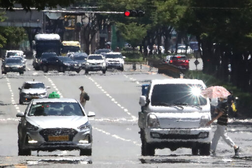
The sultry heat continues relentlessly. Heat wave advisories have already been issued for most regions across the country. On this day, the maximum daytime temperature is expected to reach 35 degrees in Daegu and Gangneung.
On the 30th of last month, record-high average daily temperatures for June were set across various locations nationwide.
In Seoul, where tropical nights have continued for two days, the minimum nighttime temperature recorded 26.2 degrees, marking the hottest June night on record. In Busan, it was recorded as the hottest day in June since observations began in April 1904.
The Korea Meteorological Administration (KMA) forecasts that on the 2nd, the morning minimum temperatures will range from 23 to 27 degrees, and the maximum daytime temperatures will range from 26 to 35 degrees. The expected maximum temperatures by region are 30 degrees in Seoul, 31 degrees in Busan, 35 degrees in Daegu, 32 degrees in Daejeon, 34 degrees in Gwangju, and 35 degrees in Gangneung.
While 5 to 20 mm of showers are forecasted for northern Gyeonggi Province and northern inland Gangwon, it seems unlikely to alleviate the extreme heat.
In the meantime, the absence of refreshing rain has led to rapid spreading of rumors on social media that "the monsoon is over." Although the monsoon started in mid to late last month, little to no rain has actually fallen.
Current Position of the Monsoon Front and Its Variability

However, the KMA has not officially declared the end of the monsoon. The monsoon front is formed by the collision of cold air from the north of the Korean Peninsula and hot, humid air from the North Pacific High.
According to the KMA, the current monsoon front is situated around the 38th parallel near the western central sea and the inter-Korean border, alternating between activation and deactivation.
The reason the stagnation front is located further north than usual this year is due to a tropical disturbance in the ocean east of the Philippines that pushed the North Pacific High to move northward.
If this tropical disturbance dissipates or moves, the North Pacific High could retreat south, making it possible that the monsoon front may also shift south again.

Typically, the monsoon ends earlier in regions like Tokyo on the Japanese mainland than in our country, but the end of the monsoon has not been declared there yet. The KMA explains that monitoring the atmospheric pressure systems around the Korean Peninsula and the movements of the stagnation front is necessary.
Short-term Weather Outlook by Region
According to the KMA and the World Meteorological Organization (WMO), the likelihood of hotter temperatures than the average in July is 64%, and in August, it is 71%, indicating a forecast of intense heat this year.
Currently, it is expected that there will be little to no monsoon rain in most areas, except for some central regions.
If the monsoon ends under these conditions, a pattern similar to the extreme heat recorded in 2018 may emerge. At that time, the monsoon ended in early July, resulting in 22 consecutive days of scorching heat.
Even if the rain is not a result of the monsoon front, due to strong sunlight and high humidity causing atmospheric instability, showers are expected to continue in various locations nationwide, particularly during afternoon hours.
Image source: Reference material for understanding the article / News1, reference material for understanding the article / gettyimagesbank